
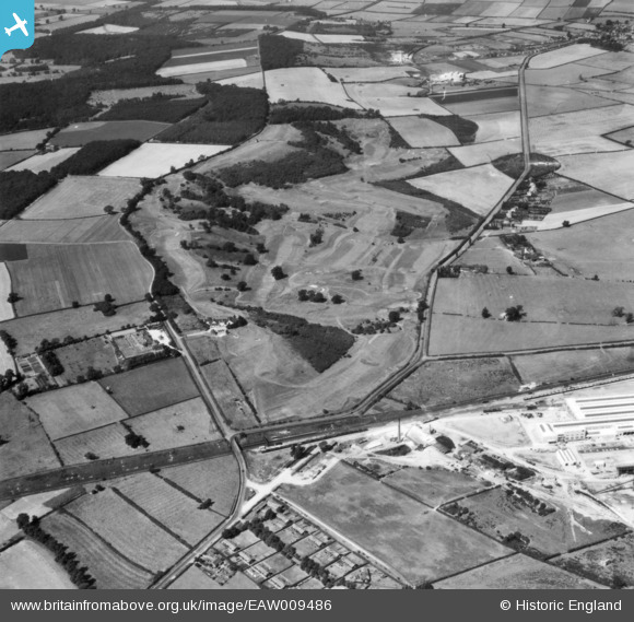
EAW009486 ENGLAND (1947). Rushcliffe Golf Course, East Leake, 1947. This image has been produced from a print.
© Copyright OpenStreetMap contributors and licensed by the OpenStreetMap Foundation. 2026. Cartography is licensed as CC BY-SA.
Nearby Images (6)
EAW009486

EAW009488

EAW009496

EAW009495

EAW009487

EAW009492

Details
| Title | [EAW009486] Rushcliffe Golf Course, East Leake, 1947. This image has been produced from a print. |
| Reference | EAW009486 |
| Date | 19-August-1947 |
| Link | |
| Place name | EAST LEAKE |
| Parish | EAST LEAKE |
| District | |
| Country | ENGLAND |
| Easting / Northing | 454837, 327918 |
| Longitude / Latitude | -1.1856983875748, 52.845645601632 |
| National Grid Reference | SK548279 |
