
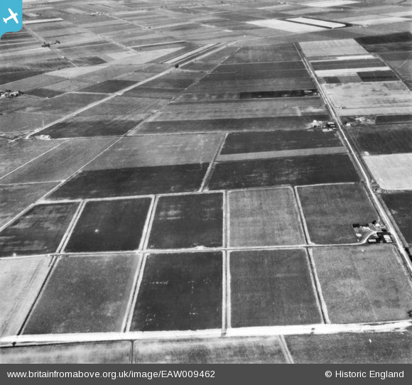
EAW009462 ENGLAND (1947). The area between Anchor Drove and Long Drove, Feltwell, 1947. This image has been produced from a print marked by Aerofilms Ltd for photo editing.
© Copyright OpenStreetMap contributors and licensed by the OpenStreetMap Foundation. 2026. Cartography is licensed as CC BY-SA.
Nearby Images (2)
EAW009462

EAW009463

Details
| Title | [EAW009462] The area between Anchor Drove and Long Drove, Feltwell, 1947. This image has been produced from a print marked by Aerofilms Ltd for photo editing. |
| Reference | EAW009462 |
| Date | 19-August-1947 |
| Link | |
| Place name | FELTWELL |
| Parish | FELTWELL |
| District | |
| Country | ENGLAND |
| Easting / Northing | 563330, 290335 |
| Longitude / Latitude | 0.40570309646554, 52.486080110015 |
| National Grid Reference | TL633903 |
