
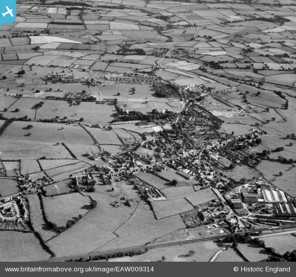
EAW009314 ENGLAND (1947). The town, Wigton, 1947
© Copyright OpenStreetMap contributors and licensed by the OpenStreetMap Foundation. 2026. Cartography is licensed as CC BY-SA.
Nearby Images (8)
EAW009314

EPW029203

EPW029202

EAW009315

EAW009313

EPW029204

EPW029206

EPW029205

Details
| Title | [EAW009314] The town, Wigton, 1947 |
| Reference | EAW009314 |
| Date | 11-August-1947 |
| Link | |
| Place name | WIGTON |
| Parish | WIGTON |
| District | |
| Country | ENGLAND |
| Easting / Northing | 325698, 548232 |
| Longitude / Latitude | -3.156601926916, 54.823320901345 |
| National Grid Reference | NY257482 |
