
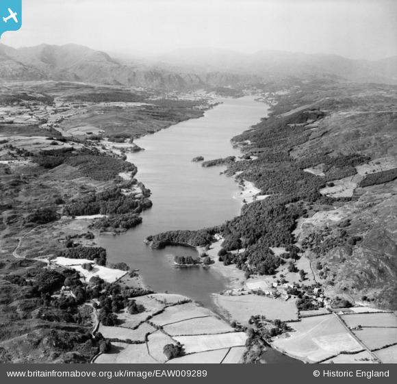
EAW009289 ENGLAND (1947). Coniston Water, High Nibthwaite, from the south, 1947
© Copyright OpenStreetMap contributors and licensed by the OpenStreetMap Foundation. 2025. Cartography is licensed as CC BY-SA.
Nearby Images (10)
EAW009289

EAW009290

EAW009288

EAW009292

EAW009293

EAW009286

EAW009294

EAW009291

EAW009295

EAW009287

Details
| Title | [EAW009289] Coniston Water, High Nibthwaite, from the south, 1947 |
| Reference | EAW009289 |
| Date | 11-August-1947 |
| Link | |
| Place name | HIGH NIBTHWAITE |
| Parish | COLTON |
| District | |
| Country | ENGLAND |
| Easting / Northing | 329152, 490014 |
| Longitude / Latitude | -3.0888173464483, 54.300661144103 |
| National Grid Reference | SD292900 |
Pins
Be the first to add a comment to this image!