
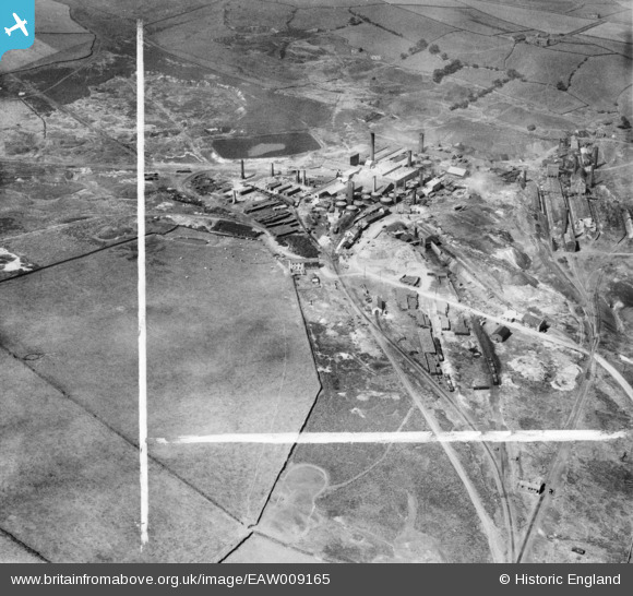
EAW009165 ENGLAND (1947). Hepworth Iron Co Works, Crow Edge, 1947. This image was marked by Aerofilms Ltd for photo editing.
© Copyright OpenStreetMap contributors and licensed by the OpenStreetMap Foundation. 2026. Cartography is licensed as CC BY-SA.
Nearby Images (33)
EAW009165

EAW009163

EAW009166

EAW009160

EAW009167

EPW057244

EAW009171

EAW016466
 and environs, Crow Edge, 1948. This image has been produced from a print.")
EPW057248

EPW059554

EAW009168

EAW016462
 and environs, Crow Edge, 1948. This image has been produced from a print.")
EAW009164

EPW016224

EPW057245

EAW016459
 and environs, Crow Edge, 1948")
EPW059557

EPW057246

EPW059552

EPW059555

EAW009162

EPW059556

EAW016464
 and environs, Crow Edge, 1948. This image has been produced from a print.")
EPW059553

EPW059558

EPW057249

EAW016460
 and environs, Crow Edge, 1948. This image has been produced from a print.")
EAW016465
 and environs, Crow Edge, 1948. This image has been produced from a print.")
EAW009159

EAW009170

EPW057247

EAW016463
 and environs, Crow Edge, 1948. This image has been produced from a print.")
EAW009169

Details
| Title | [EAW009165] Hepworth Iron Co Works, Crow Edge, 1947. This image was marked by Aerofilms Ltd for photo editing. |
| Reference | EAW009165 |
| Date | 15-August-1947 |
| Link | |
| Place name | CROW EDGE |
| Parish | DUNFORD |
| District | |
| Country | ENGLAND |
| Easting / Northing | 418175, 404650 |
| Longitude / Latitude | -1.7257299958104, 53.537938346283 |
| National Grid Reference | SE182047 |
Pins
Be the first to add a comment to this image!