
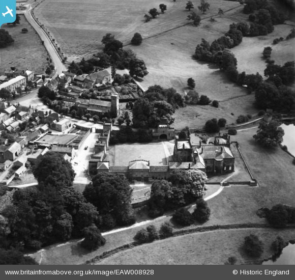
EAW008928 ENGLAND (1947). Ripley Castle and All Saints' Church, Ripley, 1947. This image has been produced from a print.
© Copyright OpenStreetMap contributors and licensed by the OpenStreetMap Foundation. 2026. Cartography is licensed as CC BY-SA.
Nearby Images (9)
EAW008928

EAW008926

EAW008925

EAW008927

EAW008929

EAW008930

EPW015794

EPW015793

EPW015795

Details
| Title | [EAW008928] Ripley Castle and All Saints' Church, Ripley, 1947. This image has been produced from a print. |
| Reference | EAW008928 |
| Date | 9-August-1947 |
| Link | |
| Place name | RIPLEY |
| Parish | RIPLEY |
| District | |
| Country | ENGLAND |
| Easting / Northing | 428275, 460535 |
| Longitude / Latitude | -1.5681916872769, 54.039829368101 |
| National Grid Reference | SE283605 |
Pins
Be the first to add a comment to this image!