
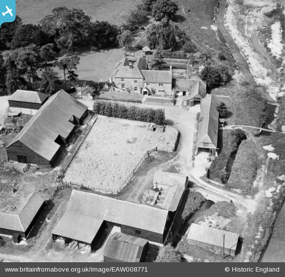
EAW008771 ENGLAND (1947). Western Court Farm, Bishop's Sutton, 1947
© Copyright OpenStreetMap contributors and licensed by the OpenStreetMap Foundation. 2025. Cartography is licensed as CC BY-SA.
Nearby Images (5)
EAW008771

EAW008772

EAW008773

EAW008775

EAW008774

Details
| Title | [EAW008771] Western Court Farm, Bishop's Sutton, 1947 |
| Reference | EAW008771 |
| Date | 9-August-1947 |
| Link | |
| Place name | BISHOP'S SUTTON |
| Parish | BISHOPS SUTTON |
| District | |
| Country | ENGLAND |
| Easting / Northing | 460155, 132341 |
| Longitude / Latitude | -1.1410291949144, 51.086695319673 |
| National Grid Reference | SU602323 |
Pins
Be the first to add a comment to this image!