
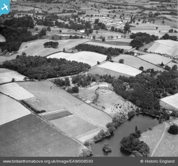
EAW008593 ENGLAND (1947). Delamere Manor and surrounding countryside, Cuddington, from the south-west, 1947
© Copyright OpenStreetMap contributors and licensed by the OpenStreetMap Foundation. 2026. Cartography is licensed as CC BY-SA.
Nearby Images (10)
EAW008593

EAW008594

EAW008592

EAW008596

EAW008599

EAW008600

EAW008591

EAW008597

EAW008598

EAW008595

Details
| Title | [EAW008593] Delamere Manor and surrounding countryside, Cuddington, from the south-west, 1947 |
| Reference | EAW008593 |
| Date | 1-August-1947 |
| Link | |
| Place name | CUDDINGTON |
| Parish | CUDDINGTON |
| District | |
| Country | ENGLAND |
| Easting / Northing | 358357, 371191 |
| Longitude / Latitude | -2.623983765685, 53.235835689003 |
| National Grid Reference | SJ584712 |
Pins

Ferrers |
Tuesday 21st of June 2022 11:05:34 AM |