
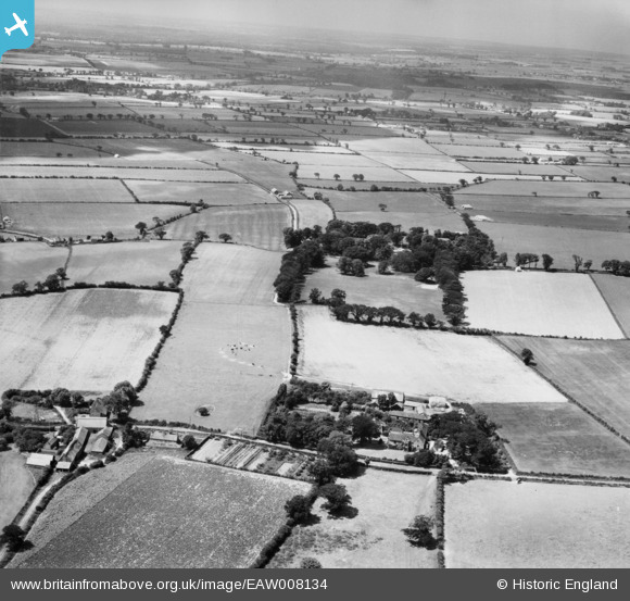
EAW008134 ENGLAND (1947). Knapton Old Hall, Knapton, from the east, 1947
© Copyright OpenStreetMap contributors and licensed by the OpenStreetMap Foundation. 2026. Cartography is licensed as CC BY-SA.
Nearby Images (2)
EAW008134

EAW008133

Details
| Title | [EAW008134] Knapton Old Hall, Knapton, from the east, 1947 |
| Reference | EAW008134 |
| Date | 12-July-1947 |
| Link | |
| Place name | KNAPTON |
| Parish | KNAPTON |
| District | |
| Country | ENGLAND |
| Easting / Northing | 630179, 333558 |
| Longitude / Latitude | 1.4188932996827, 52.849906927548 |
| National Grid Reference | TG302336 |
Pins
Be the first to add a comment to this image!