
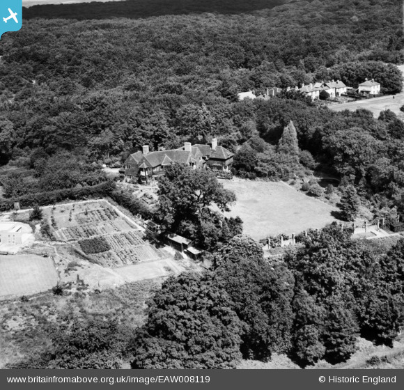
EAW008119 ENGLAND (1947). A private house at Ash Green, Loughton, 1947
© Copyright OpenStreetMap contributors and licensed by the OpenStreetMap Foundation. 2026. Cartography is licensed as CC BY-SA.
Nearby Images (8)
EAW008119

EAW008121

EAW008118

EAW008117

EAW008123

EAW008120

EAW008122

EAW008124

Details
| Title | [EAW008119] A private house at Ash Green, Loughton, 1947 |
| Reference | EAW008119 |
| Date | 12-July-1947 |
| Link | |
| Place name | LOUGHTON |
| Parish | LOUGHTON |
| District | |
| Country | ENGLAND |
| Easting / Northing | 542698, 197276 |
| Longitude / Latitude | 0.06312533789265, 51.65566828412 |
| National Grid Reference | TQ427973 |
Pins
Be the first to add a comment to this image!