
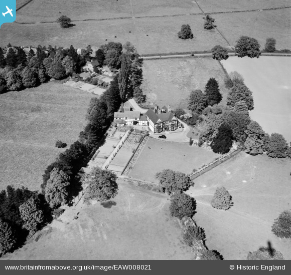
EAW008021 ENGLAND (1947). Brooklands on the Admaston Road, Wellington, 1947
© Copyright OpenStreetMap contributors and licensed by the OpenStreetMap Foundation. 2026. Cartography is licensed as CC BY-SA.
Nearby Images (4)
EAW008021

EAW008022

EAW008024

EAW008023

Details
| Title | [EAW008021] Brooklands on the Admaston Road, Wellington, 1947 |
| Reference | EAW008021 |
| Date | 30-May-1947 |
| Link | |
| Place name | WELLINGTON |
| Parish | WELLINGTON |
| District | |
| Country | ENGLAND |
| Easting / Northing | 364064, 312195 |
| Longitude / Latitude | -2.5319221101033, 52.7058863141 |
| National Grid Reference | SJ641122 |
Pins
Be the first to add a comment to this image!