
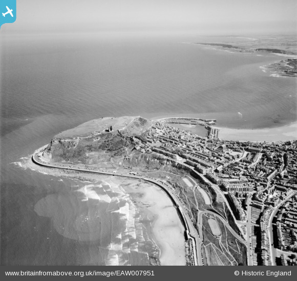
EAW007951 ENGLAND (1947). The castle and South Bay, Scarborough, from the north-west, 1947
© Copyright OpenStreetMap contributors and licensed by the OpenStreetMap Foundation. 2026. Cartography is licensed as CC BY-SA.
Nearby Images (2)
EAW007951

EAW007952

Details
| Title | [EAW007951] The castle and South Bay, Scarborough, from the north-west, 1947 |
| Reference | EAW007951 |
| Date | 26-June-1947 |
| Link | |
| Place name | SCARBOROUGH |
| Parish | |
| District | |
| Country | ENGLAND |
| Easting / Northing | 504490, 489355 |
| Longitude / Latitude | -0.39457928740366, 54.288966819168 |
| National Grid Reference | TA045894 |
Pins

redmist |
Thursday 12th of September 2019 08:22:28 PM | |
|
redmist |
Thursday 12th of September 2019 08:41:59 AM | |
|
redmist |
Thursday 12th of September 2019 08:41:00 AM |