
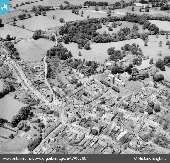
EAW007654 ENGLAND (1947). St Mary's Church and the town, Ottery St Mary, 1947
© Copyright OpenStreetMap contributors and licensed by the OpenStreetMap Foundation. 2026. Cartography is licensed as CC BY-SA.
Nearby Images (3)
EAW007654

EAW007655

EAW007653

Details
| Title | [EAW007654] St Mary's Church and the town, Ottery St Mary, 1947 |
| Reference | EAW007654 |
| Date | 17-June-1947 |
| Link | |
| Place name | OTTERY ST MARY |
| Parish | OTTERY ST. MARY |
| District | |
| Country | ENGLAND |
| Easting / Northing | 309786, 95532 |
| Longitude / Latitude | -3.2789893406656, 50.751799503761 |
| National Grid Reference | SY098955 |
Pins
Be the first to add a comment to this image!