
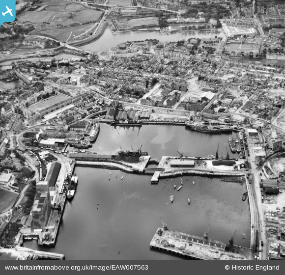
EAW007563 ENGLAND (1947). Millbay Docks and environs, Stonehouse, 1947
© Copyright OpenStreetMap contributors and licensed by the OpenStreetMap Foundation. 2026. Cartography is licensed as CC BY-SA.
Nearby Images (15)
EAW007563

EAW006010
 and Stonehouse, Plymouth, 1947. This image was marked by Aerofilms Ltd for photo editing.")
EAW006009
 and Stonehouse, Plymouth, 1947. This image was marked by Aerofilms Ltd for photo editing.")
EAW007567

EAW006011
 and Stonehouse, Plymouth, 1947. This image was marked by Aerofilms Ltd for photo editing.")
EAW007565

EAW010748

EPW054889

EAW006012
, the Eastern King battery and Stonehouse, Plymouth, 1947")
EAW007571

EAW051361
, Stonehouse, 1953")
EAW006016
 and Stonehouse, Plymouth, 1947. This image was marked by Aerofilms Ltd for photo editing.")
EAW006013
, the Eastern King battery and Stonehouse, Plymouth, 1947")
EAW007564

EAW007568

Details
| Title | [EAW007563] Millbay Docks and environs, Stonehouse, 1947 |
| Reference | EAW007563 |
| Date | 25-June-1947 |
| Link | |
| Place name | STONEHOUSE |
| Parish | |
| District | |
| Country | ENGLAND |
| Easting / Northing | 246684, 54070 |
| Longitude / Latitude | -4.1559875504252, 50.365921228223 |
| National Grid Reference | SX467541 |


