
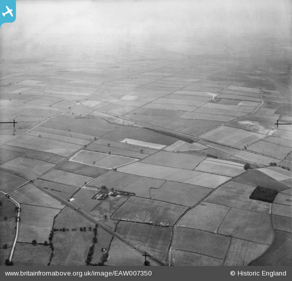
EAW007350 ENGLAND (1947). Countryside around Crifton Lodge, Bilsthorpe, from the north-east, 1947
© Copyright OpenStreetMap contributors and licensed by the OpenStreetMap Foundation. 2025. Cartography is licensed as CC BY-SA.
Nearby Images (3)
EAW007350

EAW007312

EAW007311

Details
| Title | [EAW007350] Countryside around Crifton Lodge, Bilsthorpe, from the north-east, 1947 |
| Reference | EAW007350 |
| Date | 24-June-1947 |
| Link | |
| Place name | BILSTHORPE |
| Parish | BILSTHORPE |
| District | |
| Country | ENGLAND |
| Easting / Northing | 464426, 359720 |
| Longitude / Latitude | -1.0369891654526, 53.130451108876 |
| National Grid Reference | SK644597 |
Pins
Be the first to add a comment to this image!