
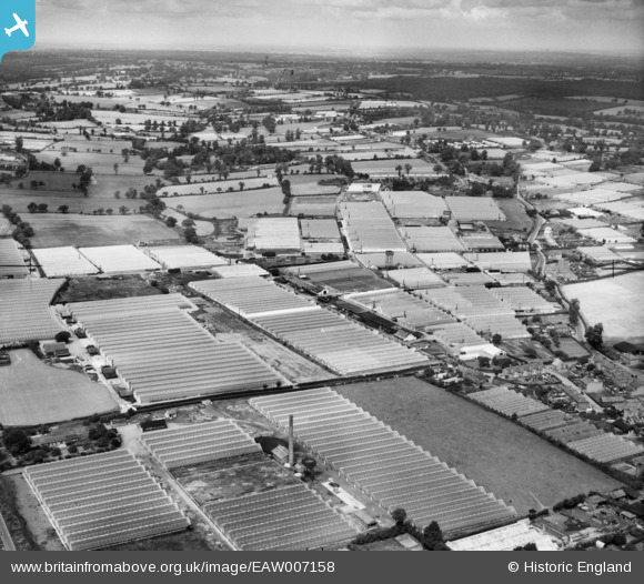
EAW007158 ENGLAND (1947). Pollards Nurseries Ltd Glasshouses off Longfield Lane and environs, Rosedale, from the south-east, 1947
© Copyright OpenStreetMap contributors and licensed by the OpenStreetMap Foundation. 2025. Cartography is licensed as CC BY-SA.
Nearby Images (3)
EAW007158

EAW007163

EPW057097

Details
| Title | [EAW007158] Pollards Nurseries Ltd Glasshouses off Longfield Lane and environs, Rosedale, from the south-east, 1947 |
| Reference | EAW007158 |
| Date | 21-June-1947 |
| Link | |
| Place name | ROSEDALE |
| Parish | |
| District | |
| Country | ENGLAND |
| Easting / Northing | 534588, 203222 |
| Longitude / Latitude | -0.05176078081128, 51.711105834431 |
| National Grid Reference | TL346032 |
Pins
Be the first to add a comment to this image!