
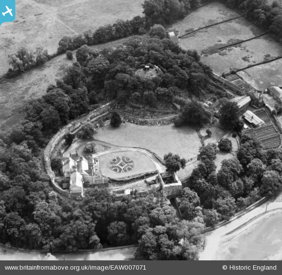
EAW007071 ENGLAND (1947). Tickhill Castle, Tickhill, 1947. This image has been produced from a print.
© Copyright OpenStreetMap contributors and licensed by the OpenStreetMap Foundation. 2026. Cartography is licensed as CC BY-SA.
Nearby Images (9)
EAW007071

EPW012880

EAW007073

EAW007077

EAW007076

EAW007075

EAW007074

EAW007072

EPW012882

Details
| Title | [EAW007071] Tickhill Castle, Tickhill, 1947. This image has been produced from a print. |
| Reference | EAW007071 |
| Date | 17-June-1947 |
| Link | |
| Place name | TICKHILL |
| Parish | TICKHILL |
| District | |
| Country | ENGLAND |
| Easting / Northing | 459331, 392851 |
| Longitude / Latitude | -1.1069495289553, 53.428847530606 |
| National Grid Reference | SK593929 |
Pins
Be the first to add a comment to this image!