
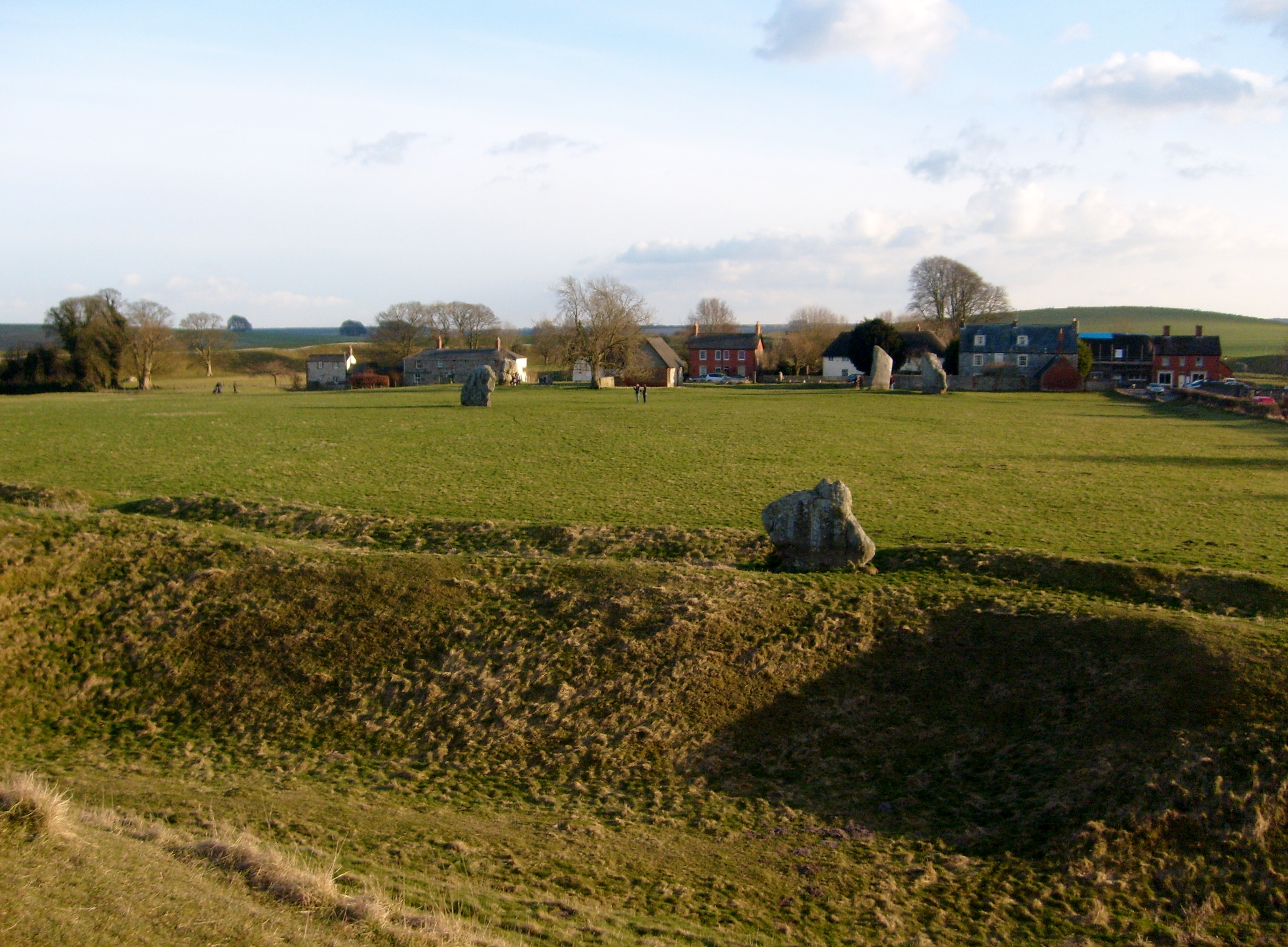
EAW007058 ENGLAND (1947). Part of Avebury Henge and Stone Circles, Avebury, 1947

© Copyright OpenStreetMap contributors and licensed by the OpenStreetMap Foundation. 2026. Cartography is licensed as CC BY-SA.
Nearby Images (16)
EAW007058

EAW007048

EAW007047

EAW049152

EAW049153

EAW007056

EAW007057

EAW034897

EAW007046

EAW034899

EAW007055

EAW007049

EAW034898

EPW011118

EAW007054

EAW049151

Details
| Title | [EAW007058] Part of Avebury Henge and Stone Circles, Avebury, 1947 |
| Reference | EAW007058 |
| Date | 11-June-1947 |
| Link | |
| Place name | AVEBURY |
| Parish | AVEBURY |
| District | |
| Country | ENGLAND |
| Easting / Northing | 410154, 170068 |
| Longitude / Latitude | -1.853928285065, 51.429034009764 |
| National Grid Reference | SU102701 |
Pins
Be the first to add a comment to this image!
User Comment Contributions
Avebury 28/12/2007 |

Class31 |
Tuesday 25th of February 2014 10:49:09 AM |