
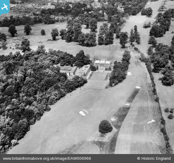
EAW006966 ENGLAND (1947). Sudbrook Park (Richmond Golf Club), Richmond, 1947
© Copyright OpenStreetMap contributors and licensed by the OpenStreetMap Foundation. 2025. Cartography is licensed as CC BY-SA.
Nearby Images (3)
EAW006966
, Richmond, 1947")
EAW006967
, Richmond, 1947")
EAW014195
 and Richmond Park, Petersham, 1948")
Details
| Title | [EAW006966] Sudbrook Park (Richmond Golf Club), Richmond, 1947 |
| Reference | EAW006966 |
| Date | 16-June-1947 |
| Link | |
| Place name | RICHMOND |
| Parish | |
| District | |
| Country | ENGLAND |
| Easting / Northing | 518457, 172515 |
| Longitude / Latitude | -0.29550460414171, 51.438738496904 |
| National Grid Reference | TQ185725 |
Pins
Be the first to add a comment to this image!