
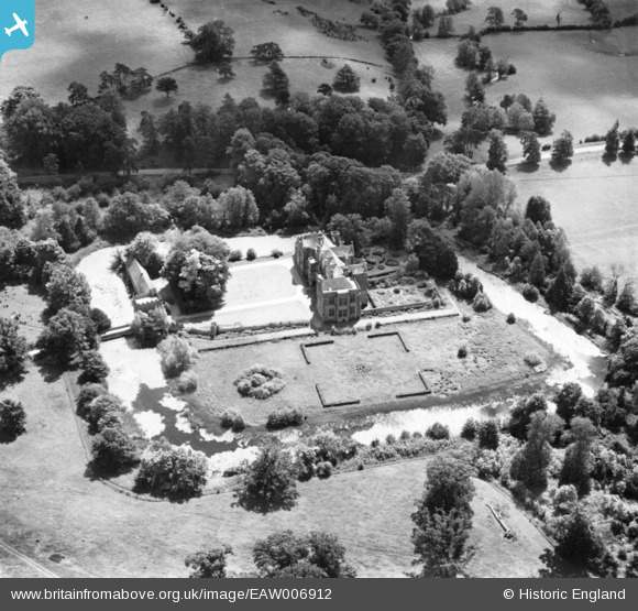
EAW006912 ENGLAND (1947). Broughton Castle, Broughton, 1947. This image has been produced from a print.
© Copyright OpenStreetMap contributors and licensed by the OpenStreetMap Foundation. 2025. Cartography is licensed as CC BY-SA.
Nearby Images (6)
EAW006912

EAW006911

EAW006913

EAW006915

EAW006917

EAW006914

Details
| Title | [EAW006912] Broughton Castle, Broughton, 1947. This image has been produced from a print. |
| Reference | EAW006912 |
| Date | 10-June-1947 |
| Link | |
| Place name | BROUGHTON |
| Parish | BROUGHTON |
| District | |
| Country | ENGLAND |
| Easting / Northing | 441792, 238194 |
| Longitude / Latitude | -1.3906291307431, 52.040148365399 |
| National Grid Reference | SP418382 |
Pins
Be the first to add a comment to this image!