
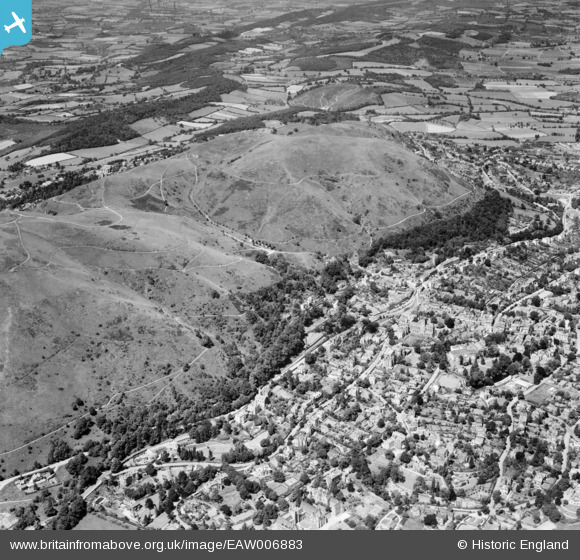
EAW006883 ENGLAND (1947). North Hill and the town, Great Malvern, 1947
© Copyright OpenStreetMap contributors and licensed by the OpenStreetMap Foundation. 2026. Cartography is licensed as CC BY-SA.
Nearby Images (6)
EAW006883

EPW033920

EPW061950

EAW006884

EPW061946

EPW041843

Details
| Title | [EAW006883] North Hill and the town, Great Malvern, 1947 |
| Reference | EAW006883 |
| Date | 10-June-1947 |
| Link | |
| Place name | GREAT MALVERN |
| Parish | MALVERN |
| District | |
| Country | ENGLAND |
| Easting / Northing | 377244, 245867 |
| Longitude / Latitude | -2.3323252068407, 52.11024836916 |
| National Grid Reference | SO772459 |
Pins

PJ |
Sunday 16th of July 2023 08:00:17 PM | |
|
PJ |
Sunday 16th of July 2023 05:35:32 PM | |
|
MikeS |
Monday 1st of February 2016 05:47:06 PM | |
|
MikeS |
Friday 19th of December 2014 07:38:28 PM |