
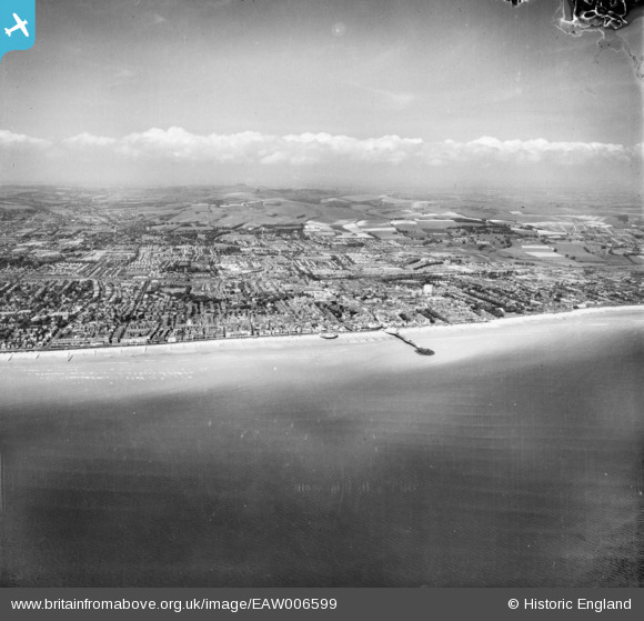
EAW006599 ENGLAND (1947). The seafront and town, Worthing, from the south, 1947
© Copyright OpenStreetMap contributors and licensed by the OpenStreetMap Foundation. 2026. Cartography is licensed as CC BY-SA.
Nearby Images (5)
EAW006599

EPW000749

EPW045567

EPW000761

EAW022244

Details
| Title | [EAW006599] The seafront and town, Worthing, from the south, 1947 |
| Reference | EAW006599 |
| Date | 27-May-1947 |
| Link | |
| Place name | WORTHING |
| Parish | |
| District | |
| Country | ENGLAND |
| Easting / Northing | 514748, 101936 |
| Longitude / Latitude | -0.37131999307385, 50.805039153801 |
| National Grid Reference | TQ147019 |
Pins

Alan McFaden |
Wednesday 1st of January 2014 11:03:13 PM | |
|
Alan McFaden |
Wednesday 1st of January 2014 11:02:31 PM | |
|
Alan McFaden |
Wednesday 1st of January 2014 03:46:21 PM |


User Comment Contributions

Worthing Pier Pavilion renovated 2014 |
Alan McFaden |
Sunday 2nd of November 2014 11:04:26 AM |
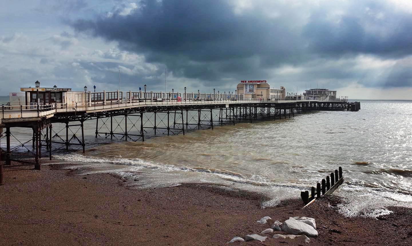
Worthing Pier |
Alan McFaden |
Sunday 2nd of November 2014 11:03:33 AM |