
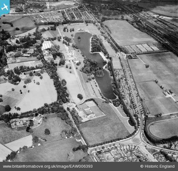
EAW006393 ENGLAND (1947). The University of Nottingham Campus including the Trent Building, Nottingham, 1947
© Copyright OpenStreetMap contributors and licensed by the OpenStreetMap Foundation. 2026. Cartography is licensed as CC BY-SA.
Nearby Images (18)
EAW006393

EAW006394

EAW006392

EPW021063

EAW044655

EPW019367

EPW021068

EPW021062

EPW021065

EPW021066

EPW020938

EPW019368

EPW021064

EPW019366

EPW019370

EPW019369

EPW021067

EPW021069

Details
| Title | [EAW006393] The University of Nottingham Campus including the Trent Building, Nottingham, 1947 |
| Reference | EAW006393 |
| Date | 27-May-1947 |
| Link | |
| Place name | NOTTINGHAM |
| Parish | |
| District | |
| Country | ENGLAND |
| Easting / Northing | 453964, 337836 |
| Longitude / Latitude | -1.1970146213064, 52.934891675997 |
| National Grid Reference | SK540378 |
Pins

J May |
Tuesday 7th of March 2017 01:30:48 PM |