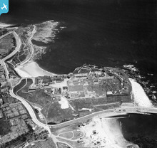
EAW006055 ENGLAND (1947). Tynemouth Castle, Tynemouth, 1947
© Copyright OpenStreetMap contributors and licensed by the OpenStreetMap Foundation. 2026. Cartography is licensed as CC BY-SA.
Nearby Images (11)
Details
| Title | [EAW006055] Tynemouth Castle, Tynemouth, 1947 |
| Reference | EAW006055 |
| Date | 21-May-1947 |
| Link | |
| Place name | TYNEMOUTH |
| Parish | |
| District | |
| Country | ENGLAND |
| Easting / Northing | 437313, 569438 |
| Longitude / Latitude | -1.4163761695135, 55.018016465069 |
| National Grid Reference | NZ373694 |
Pins

redmist |
Thursday 1st of August 2019 10:14:32 AM | |

redmist |
Thursday 1st of August 2019 10:13:07 AM | |
Marked on 1905 map as 'Ball Court' and unlikely to be small arms range, as one existed in Seaton Sluice. |

steve43hislop |
Tuesday 3rd of September 2019 04:34:52 AM |

redmist |
Thursday 1st of August 2019 10:12:12 AM | |

redmist |
Thursday 1st of August 2019 10:09:49 AM | |

redmist |
Thursday 1st of August 2019 10:08:42 AM | |

redmist |
Thursday 1st of August 2019 10:07:43 AM | |

totoro |
Friday 6th of December 2013 11:09:10 PM | |

totoro |
Friday 6th of December 2013 11:08:32 PM | |

totoro |
Friday 6th of December 2013 11:00:59 PM | |

totoro |
Friday 6th of December 2013 11:00:25 PM | |

totoro |
Friday 6th of December 2013 10:59:13 PM | |

totoro |
Friday 6th of December 2013 10:54:28 PM | |

Al |
Friday 6th of December 2013 11:32:13 AM | |
BOP = battery observation post a usually elevated position that was used to direct fire from the battery guns |

Al |
Thursday 19th of December 2013 10:09:25 PM |

Al |
Friday 6th of December 2013 11:31:44 AM | |

Al |
Friday 6th of December 2013 11:31:00 AM | |
Hi Alisdair, Could you let people know what the acronyms stand for? Maybe with a link to a Thesaurus term or archaeological record from the Defence of Britain project dataset if one exists? Would be useful to get a bit of context! Yours, Katy Britain from Above Cataloguing Team Leader |
Katy Whitaker |
Friday 6th of December 2013 11:49:46 AM |
Certainly - CASL is a coast artillery search light emplacement - similar to the position seen here http://www.skylighters.org/slimages3/scapaflowlightlg.jpg the emplacement would often have steel doors to protect the light when not in use |

Al |
Thursday 19th of December 2013 10:08:06 PM |

Al |
Friday 6th of December 2013 11:29:59 AM |
User Comment Contributions

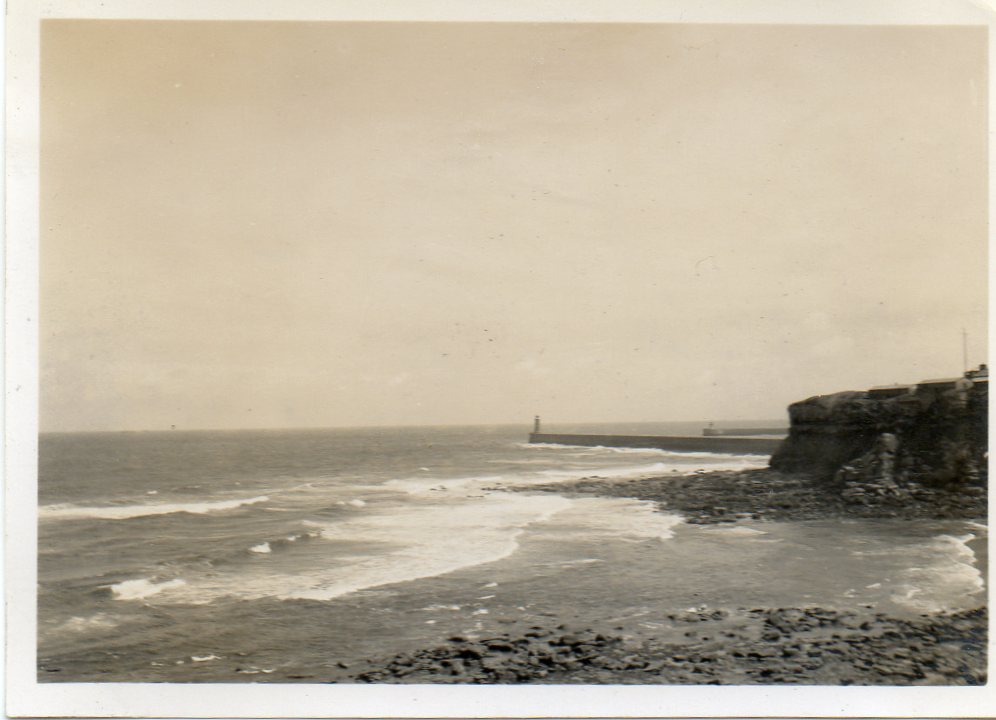
A snapshot of Tynemouth taken in June or July 1939. |

Class31 |
Tuesday 6th of May 2014 05:29:59 PM |

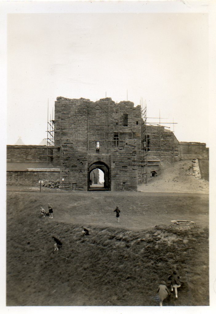
A snapshot of Tynemouth Castle taken in June or July 1939. |

Class31 |
Tuesday 6th of May 2014 05:25:44 PM |

cptpies |
Thursday 19th of December 2013 02:35:42 PM | |

Tynemouth Priory from the South |

totoro |
Friday 6th of December 2013 11:12:23 PM |


![[EAW006055] Tynemouth Castle, Tynemouth, 1947](http://britainfromabove.org.uk/sites/all/libraries/aerofilms-images/public/100x100/EAW/006/EAW006055.jpg)
![[EAW006053] Tynemouth Castle, Tynemouth, 1947. This image has been produced from a copy-negative.](http://britainfromabove.org.uk/sites/all/libraries/aerofilms-images/public/100x100/EAW/006/EAW006053.jpg)
![[EAW006051] Tynemouth Castle, Tynemouth, 1947. This image has been produced from a copy-negative.](http://britainfromabove.org.uk/sites/all/libraries/aerofilms-images/public/100x100/EAW/006/EAW006051.jpg)
![[EPW019754] The castle and priory ruins, Tynemouth, 1927](http://britainfromabove.org.uk/sites/all/libraries/aerofilms-images/public/100x100/EPW/019/EPW019754.jpg)
![[EPW019758] The castle and priory ruins, Tynemouth, 1927](http://britainfromabove.org.uk/sites/all/libraries/aerofilms-images/public/100x100/EPW/019/EPW019758.jpg)
![[EAW006052] Tynemouth Castle, Tynemouth, 1947. This image has been produced from a copy-negative.](http://britainfromabove.org.uk/sites/all/libraries/aerofilms-images/public/100x100/EAW/006/EAW006052.jpg)
![[EAW006054] Tynemouth Castle and North Pier, Tynemouth, 1947](http://britainfromabove.org.uk/sites/all/libraries/aerofilms-images/public/100x100/EAW/006/EAW006054.jpg)
![[EPW040680] Tynemouth Castle, Tynemouth, 1932](http://britainfromabove.org.uk/sites/all/libraries/aerofilms-images/public/100x100/EPW/040/EPW040680.jpg)
![[EAW006050] Tynemouth Castle, Tynemouth, 1947. This image has been produced from a copy-negative.](http://britainfromabove.org.uk/sites/all/libraries/aerofilms-images/public/100x100/EAW/006/EAW006050.jpg)
![[EPW040681] Tynemouth Castle and Prior's Haven, Tynemouth, 1932](http://britainfromabove.org.uk/sites/all/libraries/aerofilms-images/public/100x100/EPW/040/EPW040681.jpg)
![[EAW052310] The River Tyne, Tynemouth, from the north-east, 1953](http://britainfromabove.org.uk/sites/all/libraries/aerofilms-images/public/100x100/EAW/052/EAW052310.jpg)
