
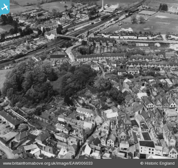
EAW006033 ENGLAND (1947). Totnes Castle and environs, Totnes, 1947. This image has been produced from a print.
© Copyright OpenStreetMap contributors and licensed by the OpenStreetMap Foundation. 2026. Cartography is licensed as CC BY-SA.
Nearby Images (8)
EAW006033

EAW006029

EAW006030

EAW006031

EPW011315

EPW054791

EPW054790

EAW006032

Details
| Title | [EAW006033] Totnes Castle and environs, Totnes, 1947. This image has been produced from a print. |
| Reference | EAW006033 |
| Date | 18-May-1947 |
| Link | |
| Place name | TOTNES |
| Parish | TOTNES |
| District | |
| Country | ENGLAND |
| Easting / Northing | 280016, 60525 |
| Longitude / Latitude | -3.6895689241174, 50.43169660147 |
| National Grid Reference | SX800605 |
Pins

envelope |
Monday 8th of September 2014 05:14:43 PM |