
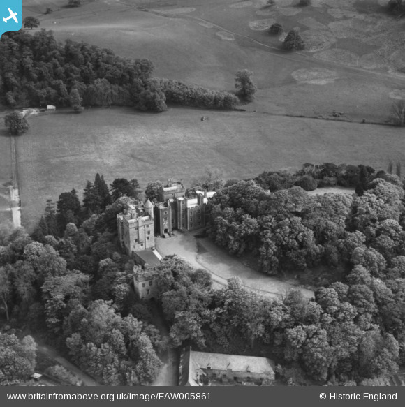
EAW005861 ENGLAND (1947). Dunster Castle, Dunster, 1947. This image has been produced from a print.
© Copyright OpenStreetMap contributors and licensed by the OpenStreetMap Foundation. 2026. Cartography is licensed as CC BY-SA.
Nearby Images (14)
EAW005861

EAW015006

EPW033233

EAW005860

EAW015008

EAW005863

EAW005864

EAW015010

EAW005862

EAW015007

EPW033231

EAW015009

EPW033234

EPW033723

Details
| Title | [EAW005861] Dunster Castle, Dunster, 1947. This image has been produced from a print. |
| Reference | EAW005861 |
| Date | 18-May-1947 |
| Link | |
| Place name | DUNSTER |
| Parish | DUNSTER |
| District | |
| Country | ENGLAND |
| Easting / Northing | 299177, 143456 |
| Longitude / Latitude | -3.4426349984894, 51.180914184762 |
| National Grid Reference | SS992435 |
Pins
Be the first to add a comment to this image!
User Comment Contributions
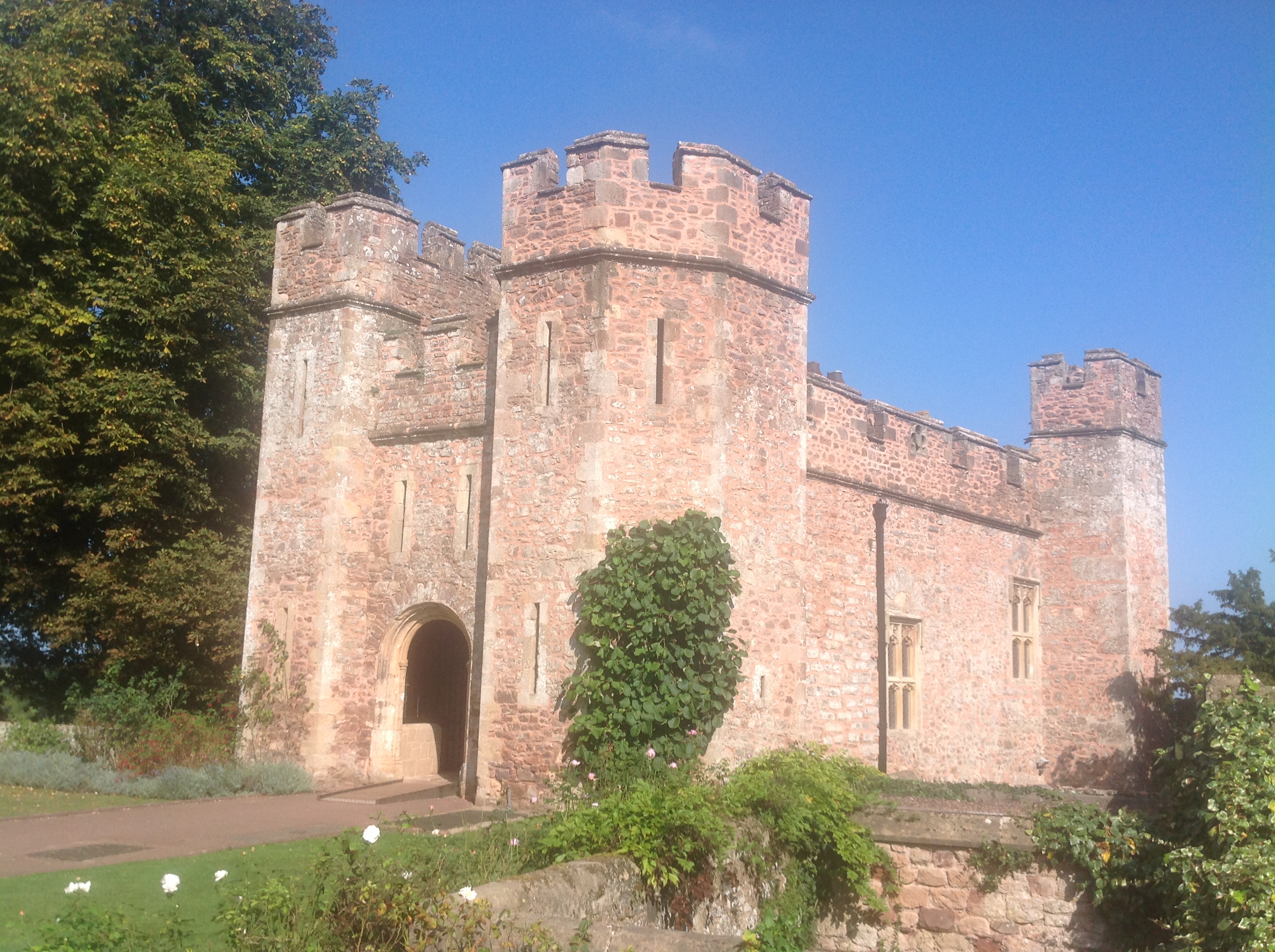
Dunster Castle, 21/09/2014 |

Class31 |
Monday 29th of September 2014 10:47:59 PM |