
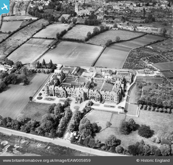
EAW005859 ENGLAND (1947). Exe Vale Hospital (Wonford House), Exeter, 1947
© Copyright OpenStreetMap contributors and licensed by the OpenStreetMap Foundation. 2026. Cartography is licensed as CC BY-SA.
Nearby Images (2)
EAW005859
, Exeter, 1947")
EPW041166

Details
| Title | [EAW005859] Exe Vale Hospital (Wonford House), Exeter, 1947 |
| Reference | EAW005859 |
| Date | 18-May-1947 |
| Link | |
| Place name | EXETER |
| Parish | |
| District | |
| Country | ENGLAND |
| Easting / Northing | 293764, 91752 |
| Longitude / Latitude | -3.5049707496619, 50.715103314976 |
| National Grid Reference | SX938918 |
Pins
Be the first to add a comment to this image!