
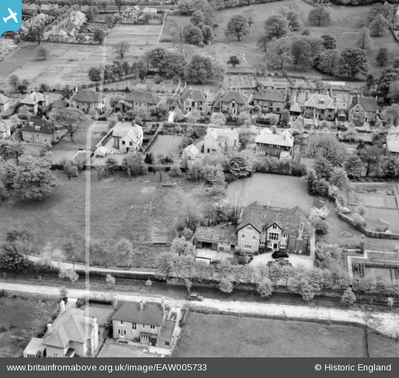
EAW005733 ENGLAND (1947). Westgarth House, Fulwood, 1947. This image was marked by Aerofilms Ltd for photo editing.
© Copyright OpenStreetMap contributors and licensed by the OpenStreetMap Foundation. 2026. Cartography is licensed as CC BY-SA.
Nearby Images (9)
EAW005733

EAW005740

EAW005738

EAW005737

EAW005735

EAW005739

EAW005736

EAW005741

EAW005734

Details
| Title | [EAW005733] Westgarth House, Fulwood, 1947. This image was marked by Aerofilms Ltd for photo editing. |
| Reference | EAW005733 |
| Date | 15-May-1947 |
| Link | |
| Place name | FULWOOD |
| Parish | |
| District | |
| Country | ENGLAND |
| Easting / Northing | 430959, 385975 |
| Longitude / Latitude | -1.5346572570169, 53.369466382155 |
| National Grid Reference | SK310860 |
Pins
Be the first to add a comment to this image!