
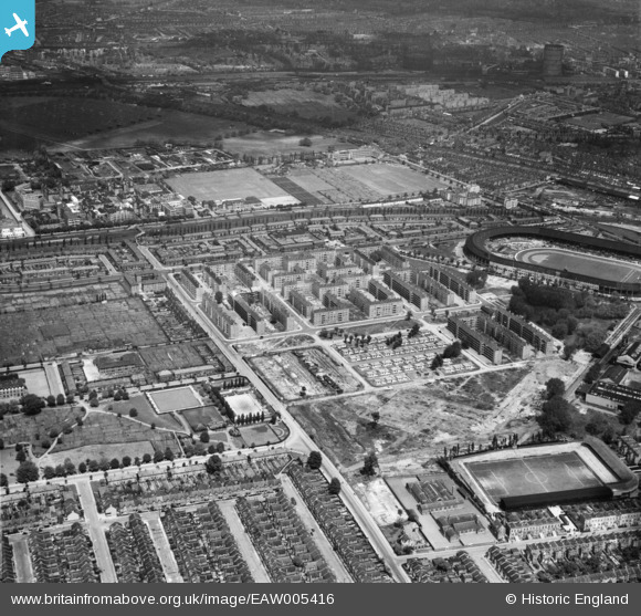
EAW005416 ENGLAND (1947). The White City Estate and environs, Shepherd's Bush, 1947
© Copyright OpenStreetMap contributors and licensed by the OpenStreetMap Foundation. 2026. Cartography is licensed as CC BY-SA.
Nearby Images (9)
EAW005416

EAW005412

EAW005417

EAW005408

EAW005415

EAW005409

EAW005414

EAW005407

EAW005413

Details
| Title | [EAW005416] The White City Estate and environs, Shepherd's Bush, 1947 |
| Reference | EAW005416 |
| Date | 17-May-1947 |
| Link | |
| Place name | SHEPHERD'S BUSH |
| Parish | |
| District | |
| Country | ENGLAND |
| Easting / Northing | 522714, 180843 |
| Longitude / Latitude | -0.23138744889111, 51.512686403238 |
| National Grid Reference | TQ227808 |
Pins

redmist |
Tuesday 26th of December 2023 02:18:59 PM | |
|
redmist |
Tuesday 26th of December 2023 02:16:05 PM | |
|
redmist |
Tuesday 26th of December 2023 02:06:19 PM |