
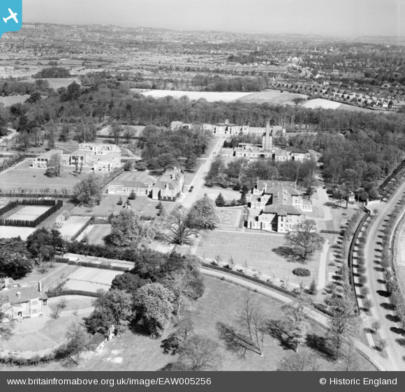
EAW005256 ENGLAND (1947). Bethlem Royal Hospital and environs, Upper Elmers End, from the south, 1947
© Copyright OpenStreetMap contributors and licensed by the OpenStreetMap Foundation. 2026. Cartography is licensed as CC BY-SA.
Nearby Images (6)
EAW005256

EAW005255

EAW005257

EPW034533

EPW034532

EAW005251

Details
| Title | [EAW005256] Bethlem Royal Hospital and environs, Upper Elmers End, from the south, 1947 |
| Reference | EAW005256 |
| Date | 29-April-1947 |
| Link | |
| Place name | UPPER ELMERS END |
| Parish | |
| District | |
| Country | ENGLAND |
| Easting / Northing | 537266, 166375 |
| Longitude / Latitude | -0.02739673199148, 51.379310488923 |
| National Grid Reference | TQ373664 |
Pins
Be the first to add a comment to this image!