
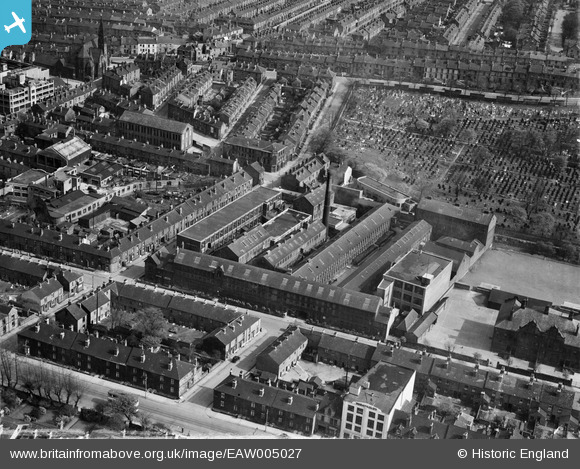
EAW005027 ENGLAND (1947). James Chesterman and Co Bow Works, Sheffield, 1947
© Copyright OpenStreetMap contributors and licensed by the OpenStreetMap Foundation. 2026. Cartography is licensed as CC BY-SA.
Nearby Images (43)
EAW005027

EAW005021

EAW005025

EAW005026

EAW005022

EAW005023

EAW005024

EAW047711A
 Ltd Composite Steel Works and environs, Sheffield, from the south-west, 1952. This image was marked by Aerofilms Ltd for photo editing.")
EAW047708
 Ltd Composite Steel Works and the city centre, Sheffield, from the south-west, 1952. This image was marked by Aerofilms Ltd for photo editing.")
EAW048669

EAW047710
 Ltd Composite Steel Works and environs, Sheffield, 1952. This image was marked by Aerofilms Ltd for photo editing.")
EAW006273

EAW047705
 Ltd Composite Steel Works and the city centre, Sheffield, from the south, 1952. This image was marked by Aerofilms Ltd for photo editing.")
EAW006271

EAW006276

EAW048667

EAW006277

EAW048665

EAW048672

EAW047709
 Ltd Composite Steel Works and environs, Sheffield, 1952. This image was marked by Aerofilms Ltd for photo editing.")
EAW006272

EAW047704
 Ltd Composite Steel Works and environs, Sheffield, 1952. This image was marked by Aerofilms Ltd for photo editing.")
EAW047703
 Ltd Composite Steel Works and environs, Sheffield, 1952. This image was marked by Aerofilms Ltd for photo editing.")
EPW047987

EPW047986

EAW048664

EPW047984

EAW018794

EAW047707
 Ltd Composite Steel Works and environs, Sheffield, 1952. This image was marked by Aerofilms Ltd for photo editing.")
EAW020040

EAW048671

EAW018796

EAW020038

EAW006275

EAW018795

EPW047982

EAW018793

EPW047985

EAW006278

EAW048670

EAW006274

EAW047706
 Ltd Composite Steel Works and environs, Sheffield, 1952. This image was marked by Aerofilms Ltd for photo editing.")
EAW048666

Details
| Title | [EAW005027] James Chesterman and Co Bow Works, Sheffield, 1947 |
| Reference | EAW005027 |
| Date | 7-May-1947 |
| Link | |
| Place name | SHEFFIELD |
| Parish | |
| District | |
| Country | ENGLAND |
| Easting / Northing | 434309, 386136 |
| Longitude / Latitude | -1.4842882695319, 53.370706758731 |
| National Grid Reference | SK343861 |
Pins
Be the first to add a comment to this image!