
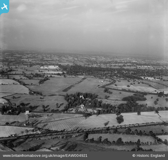
EAW004921 ENGLAND (1947). Elstree Aerodrome, Aldenham, from the south-west, 1947
© Copyright OpenStreetMap contributors and licensed by the OpenStreetMap Foundation. 2026. Cartography is licensed as CC BY-SA.
Nearby Images (12)
EAW004921

EAW023642

EAW027499

EAW041156

EAW041157

EAW041158

EAW023644

EAW008423

EAW008420

EAW041240

EAW034517

EAW045346

Details
| Title | [EAW004921] Elstree Aerodrome, Aldenham, from the south-west, 1947 |
| Reference | EAW004921 |
| Date | April-1947 |
| Link | |
| Place name | ALDENHAM |
| Parish | ALDENHAM |
| District | |
| Country | ENGLAND |
| Easting / Northing | 515643, 196353 |
| Longitude / Latitude | -0.32814034071221, 51.653590845115 |
| National Grid Reference | TQ156964 |
Pins

Sparky |
Monday 7th of August 2017 06:06:53 PM |