
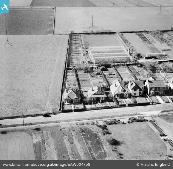
EAW004758 ENGLAND (1947). The Kumnor Nursery and the surrounding housing, Sandwich, 1947
© Copyright OpenStreetMap contributors and licensed by the OpenStreetMap Foundation. 2026. Cartography is licensed as CC BY-SA.
Nearby Images (7)
EAW004758

EAW004759

EAW006162

EAW006163

EAW004756

EAW004755

EAW004757

Details
| Title | [EAW004758] The Kumnor Nursery and the surrounding housing, Sandwich, 1947 |
| Reference | EAW004758 |
| Date | 26-April-1947 |
| Link | |
| Place name | SANDWICH |
| Parish | SANDWICH |
| District | |
| Country | ENGLAND |
| Easting / Northing | 632637, 156985 |
| Longitude / Latitude | 1.3350348194399, 51.26395547057 |
| National Grid Reference | TR326570 |
Pins
Be the first to add a comment to this image!