
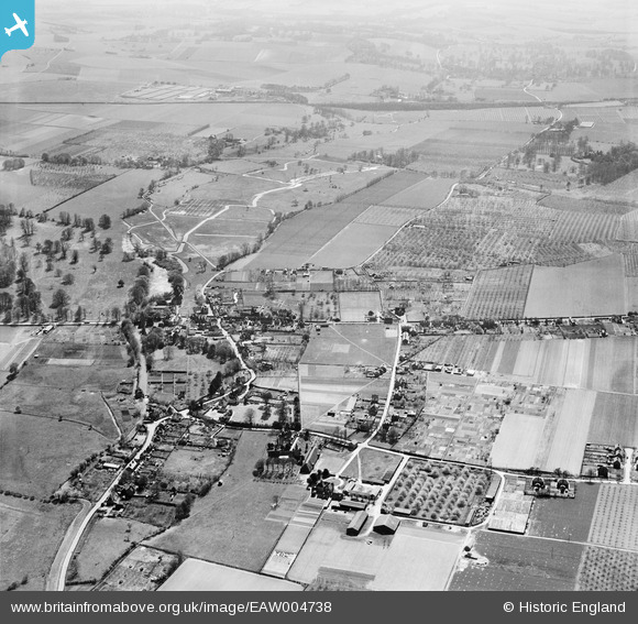
EAW004738 ENGLAND (1947). Littlebourne Court, the village and the surrounding countryside, Littlebourne, 1947
© Copyright OpenStreetMap contributors and licensed by the OpenStreetMap Foundation. 2026. Cartography is licensed as CC BY-SA.
Nearby Images (2)
EAW004738

EAW004735

Details
| Title | [EAW004738] Littlebourne Court, the village and the surrounding countryside, Littlebourne, 1947 |
| Reference | EAW004738 |
| Date | 26-April-1947 |
| Link | |
| Place name | LITTLEBOURNE |
| Parish | LITTLEBOURNE |
| District | |
| Country | ENGLAND |
| Easting / Northing | 620740, 157366 |
| Longitude / Latitude | 1.1650038179936, 51.27210782384 |
| National Grid Reference | TR207574 |
Pins
Be the first to add a comment to this image!