
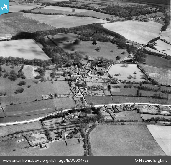
EAW004723 ENGLAND (1947). The village and the surrounding countryside, Barham, 1947
© Copyright OpenStreetMap contributors and licensed by the OpenStreetMap Foundation. 2025. Cartography is licensed as CC BY-SA.
Nearby Images (4)
EAW004723

EAW004724

EAW004726

EAW004725

Details
| Title | [EAW004723] The village and the surrounding countryside, Barham, 1947 |
| Reference | EAW004723 |
| Date | 26-April-1947 |
| Link | |
| Place name | BARHAM |
| Parish | BARHAM |
| District | |
| Country | ENGLAND |
| Easting / Northing | 620871, 150059 |
| Longitude / Latitude | 1.1623727457243, 51.206446197869 |
| National Grid Reference | TR209501 |
Pins

John Wass |
Friday 17th of April 2015 09:00:02 PM |