
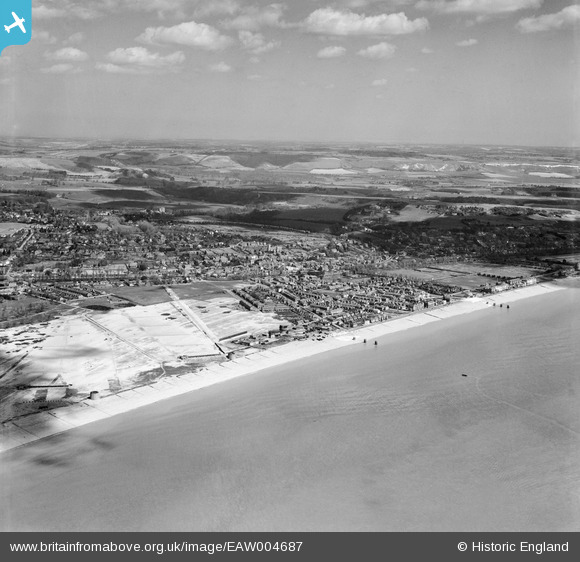
EAW004687 ENGLAND (1947). The Shorncliffe Rifle Ranges and the town, Hythe, from the south-west, 1947
© Copyright OpenStreetMap contributors and licensed by the OpenStreetMap Foundation. 2026. Cartography is licensed as CC BY-SA.
Nearby Images (2)
EAW004687

EAW004688

Details
| Title | [EAW004687] The Shorncliffe Rifle Ranges and the town, Hythe, from the south-west, 1947 |
| Reference | EAW004687 |
| Date | 26-April-1947 |
| Link | |
| Place name | HYTHE |
| Parish | HYTHE |
| District | |
| Country | ENGLAND |
| Easting / Northing | 615624, 133822 |
| Longitude / Latitude | 1.0776480412656, 51.062642084992 |
| National Grid Reference | TR156338 |
Pins

cptpies |
Tuesday 10th of October 2017 02:43:41 PM | |
|
Chris Kolonko |
Saturday 16th of September 2017 08:47:31 PM | |

Sparky |
Thursday 6th of July 2017 12:48:03 AM | |
|
The Laird |
Monday 13th of April 2015 04:05:43 PM | |
|
The Laird |
Monday 13th of April 2015 04:04:50 PM | |
|
The Laird |
Monday 13th of April 2015 02:33:55 PM | |
|
The Laird |
Monday 13th of April 2015 02:17:05 PM | |
|
Paolo |
Thursday 9th of October 2014 08:57:40 PM | |
|
The Laird |
Sunday 29th of June 2014 03:52:58 PM | |
|
kevininkent |
Tuesday 11th of March 2014 03:47:40 PM | |
|
kevininkent |
Tuesday 11th of March 2014 03:46:48 PM | |
|
Gone2Kent |
Friday 27th of December 2013 07:11:28 PM | |
|
Gone2Kent |
Friday 27th of December 2013 07:05:55 PM | |
|
Gone2Kent |
Friday 27th of December 2013 07:02:16 PM | |
|
Gone2Kent |
Friday 27th of December 2013 06:52:03 PM |


