
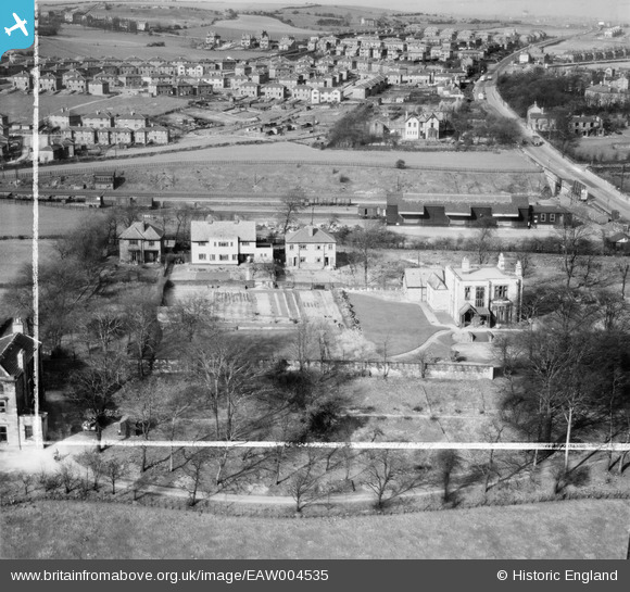
EAW004535 ENGLAND (1947). Norcott and the Liversedge Goods Station, Liversedge, 1947. This image was marked by Aerofilms Ltd for photo editing.
© Copyright OpenStreetMap contributors and licensed by the OpenStreetMap Foundation. 2026. Cartography is licensed as CC BY-SA.
Nearby Images (4)
EAW004535

EAW004533

EAW004534

EPW023787

Details
| Title | [EAW004535] Norcott and the Liversedge Goods Station, Liversedge, 1947. This image was marked by Aerofilms Ltd for photo editing. |
| Reference | EAW004535 |
| Date | 16-April-1947 |
| Link | |
| Place name | LIVERSEDGE |
| Parish | |
| District | |
| Country | ENGLAND |
| Easting / Northing | 420876, 424013 |
| Longitude / Latitude | -1.6836722963512, 53.711894583392 |
| National Grid Reference | SE209240 |
Pins
Be the first to add a comment to this image!