
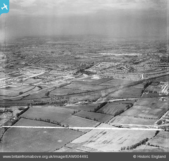
EAW004491 ENGLAND (1947). South Ruislip looking towards Rayners Lane and beyond, South Ruislip, from the south-west, 1947. This image was marked by Aerofilms Ltd for photo editing.
© Copyright OpenStreetMap contributors and licensed by the OpenStreetMap Foundation. 2026. Cartography is licensed as CC BY-SA.
Nearby Images (3)
EAW004491

EAW004492

EAW004496

Details
| Title | [EAW004491] South Ruislip looking towards Rayners Lane and beyond, South Ruislip, from the south-west, 1947. This image was marked by Aerofilms Ltd for photo editing. |
| Reference | EAW004491 |
| Date | 14-April-1947 |
| Link | |
| Place name | SOUTH RUISLIP |
| Parish | |
| District | |
| Country | ENGLAND |
| Easting / Northing | 511836, 185018 |
| Longitude / Latitude | -0.38677000236063, 51.552473542766 |
| National Grid Reference | TQ118850 |
Pins

Post-war prefabs |
Tuesday 18th of January 2022 04:06:21 PM | |
|
Alan |
Thursday 21st of January 2021 11:04:36 AM | |
|
The Laird |
Thursday 3rd of March 2016 06:20:54 PM | |
|
The Laird |
Thursday 3rd of March 2016 01:09:03 PM | |
|
southallboy |
Sunday 29th of September 2013 03:14:18 PM |