
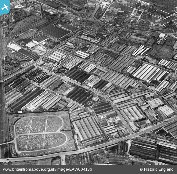
EAW004136 ENGLAND (1947). The Crookes Laboratories Ltd off Gorst Road and the surrounding industrial area, North Acton, 1947
© Copyright OpenStreetMap contributors and licensed by the OpenStreetMap Foundation. 2026. Cartography is licensed as CC BY-SA.
Nearby Images (26)
EAW004136

EAW004139

EAW004138

EAW004142

EAW000085
 and the surrounding industrial area, North Acton, 1946")
EAW004143

EAW000087
, Carters Invalid Furniture Works and the surrounding industrial area, North Acton, 1946")
EAW000086
, industrial works off Gorst Road and the adjacent Cemetery, North Acton, 1946")
EAW000083
, Carters Invalid Furniture Works and the surrounding industrial area, North Acton, 1946")
EAW000088
, Carters Invalid Furniture Works and the surrounding industrial area, North Acton, 1946")
EAW004141

EAW000084
, Carters Invalid Furniture Works and the surrounding industrial area, North Acton, 1946")
EAW004140

EAW000468

EAW033539

EAW000467

EAW033541

EPW052703

EAW033536

EAW033540

EAW033534

EAW033535

EAW000464

EAW033537

EAW033538

EAW004137

Details
| Title | [EAW004136] The Crookes Laboratories Ltd off Gorst Road and the surrounding industrial area, North Acton, 1947 |
| Reference | EAW004136 |
| Date | 1-April-1947 |
| Link | |
| Place name | NORTH ACTON |
| Parish | |
| District | |
| Country | ENGLAND |
| Easting / Northing | 520571, 182345 |
| Longitude / Latitude | -0.26174393975744, 51.526648370567 |
| National Grid Reference | TQ206823 |
Pins

Sparky |
Thursday 28th of September 2017 08:27:39 AM |