
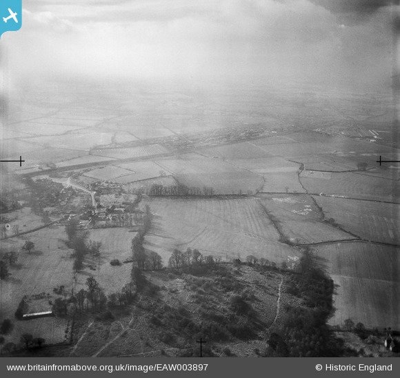
EAW003897 ENGLAND (1947). Fields between Horspath Common and the village, Horspath, from the north, 1947
© Copyright OpenStreetMap contributors and licensed by the OpenStreetMap Foundation. 2025. Cartography is licensed as CC BY-SA.
Nearby Images (2)
EAW003897

EAW003898

Details
| Title | [EAW003897] Fields between Horspath Common and the village, Horspath, from the north, 1947 |
| Reference | EAW003897 |
| Date | 20-March-1947 |
| Link | |
| Place name | HORSPATH |
| Parish | HORSPATH |
| District | |
| Country | ENGLAND |
| Easting / Northing | 456836, 205227 |
| Longitude / Latitude | -1.1767277572598, 51.742404560337 |
| National Grid Reference | SP568052 |
Pins
Be the first to add a comment to this image!