
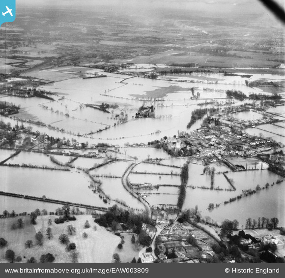
EAW003809 ENGLAND (1947). Flooding around the village, Bray, from the south-west, 1947
© Copyright OpenStreetMap contributors and licensed by the OpenStreetMap Foundation. 2026. Cartography is licensed as CC BY-SA.
Nearby Images (5)
EAW003809

EPW036182

EPW036186

EAW003808

EPW000908

Details
| Title | [EAW003809] Flooding around the village, Bray, from the south-west, 1947 |
| Reference | EAW003809 |
| Date | 19-March-1947 |
| Link | |
| Place name | BRAY |
| Parish | BRAY |
| District | |
| Country | ENGLAND |
| Easting / Northing | 489879, 179677 |
| Longitude / Latitude | -0.70476455333348, 51.508383498368 |
| National Grid Reference | SU899797 |
Pins
Be the first to add a comment to this image!