
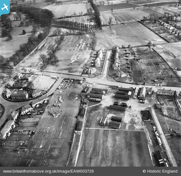
EAW003726 ENGLAND (1947). Flooding surrounding the Chemical Manure Works and Almond Road, St Neots, 1947
© Copyright OpenStreetMap contributors and licensed by the OpenStreetMap Foundation. 2026. Cartography is licensed as CC BY-SA.
Nearby Images (2)
EAW003726

EAW003727

Details
| Title | [EAW003726] Flooding surrounding the Chemical Manure Works and Almond Road, St Neots, 1947 |
| Reference | EAW003726 |
| Date | 18-March-1947 |
| Link | |
| Place name | ST NEOTS |
| Parish | ST. NEOTS |
| District | |
| Country | ENGLAND |
| Easting / Northing | 518696, 260818 |
| Longitude / Latitude | -0.26176554090596, 52.232349034958 |
| National Grid Reference | TL187608 |
Pins
Be the first to add a comment to this image!