
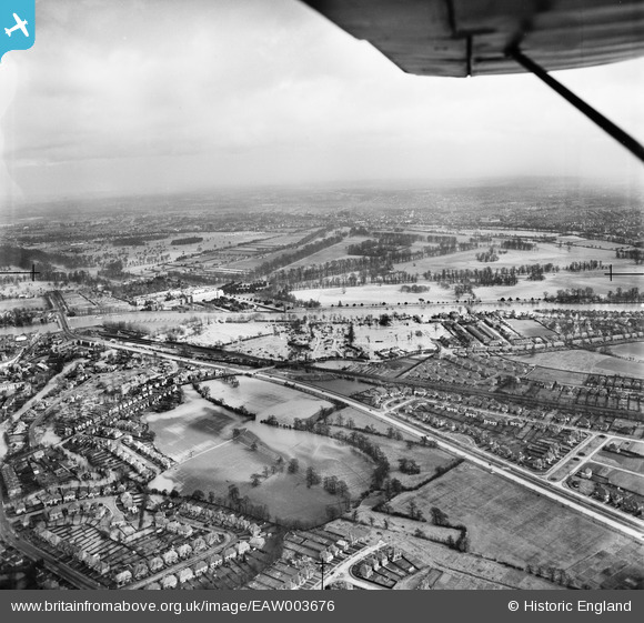
EAW003676 ENGLAND (1947). The River Thames in flood surrounding Hampton Court Railway Station and Hampton Court Park, Thames Ditton, from the south-west, 1947
© Copyright OpenStreetMap contributors and licensed by the OpenStreetMap Foundation. 2026. Cartography is licensed as CC BY-SA.
Nearby Images (3)
EAW003676

EPW031573

EAW003677

Details
| Title | [EAW003676] The River Thames in flood surrounding Hampton Court Railway Station and Hampton Court Park, Thames Ditton, from the south-west, 1947 |
| Reference | EAW003676 |
| Date | 18-March-1947 |
| Link | |
| Place name | THAMES DITTON |
| Parish | |
| District | |
| Country | ENGLAND |
| Easting / Northing | 515268, 167568 |
| Longitude / Latitude | -0.34297965386749, 51.394928602816 |
| National Grid Reference | TQ153676 |
Pins

Pip |
Friday 3rd of January 2014 12:11:29 AM | |
|
Pip |
Friday 3rd of January 2014 12:10:50 AM | |
|
Pip |
Friday 3rd of January 2014 12:09:59 AM | |
|
Pip |
Friday 3rd of January 2014 12:09:24 AM | |
|
Pip |
Friday 3rd of January 2014 12:08:05 AM | |
|
Pip |
Friday 3rd of January 2014 12:06:52 AM | |
|
Pip |
Friday 3rd of January 2014 12:05:59 AM |