
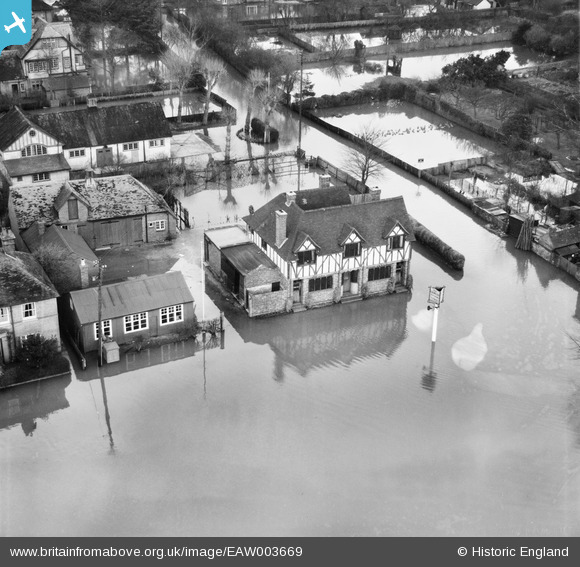
EAW003669 ENGLAND (1947). Flooding around The Crown Inn, Cookham, 1947
© Copyright OpenStreetMap contributors and licensed by the OpenStreetMap Foundation. 2025. Cartography is licensed as CC BY-SA.
Nearby Images (4)
EAW003669

EAW003670

EAW003668

EAW003829

Details
| Title | [EAW003669] Flooding around The Crown Inn, Cookham, 1947 |
| Reference | EAW003669 |
| Date | March-1947 |
| Link | |
| Place name | COOKHAM |
| Parish | COOKHAM |
| District | |
| Country | ENGLAND |
| Easting / Northing | 489425, 185378 |
| Longitude / Latitude | -0.70985699548091, 51.559708536255 |
| National Grid Reference | SU894854 |
Pins
Be the first to add a comment to this image!