
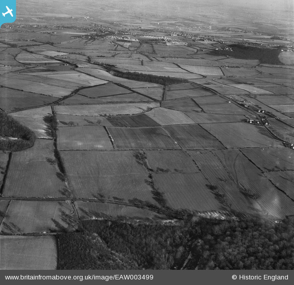
EAW003499 ENGLAND (1947). Fields to the north of Mausoleum Plantation, Hoober, 1947
© Copyright OpenStreetMap contributors and licensed by the OpenStreetMap Foundation. 2026. Cartography is licensed as CC BY-SA.
Nearby Images (2)
EAW003499

EAW003512

Details
| Title | [EAW003499] Fields to the north of Mausoleum Plantation, Hoober, 1947 |
| Reference | EAW003499 |
| Date | 12-January-1947 |
| Link | |
| Place name | HOOBER |
| Parish | BRAMPTON BIERLOW |
| District | |
| Country | ENGLAND |
| Easting / Northing | 441594, 397842 |
| Longitude / Latitude | -1.3732455130941, 53.475409212534 |
| National Grid Reference | SK416978 |
Pins
Be the first to add a comment to this image!