
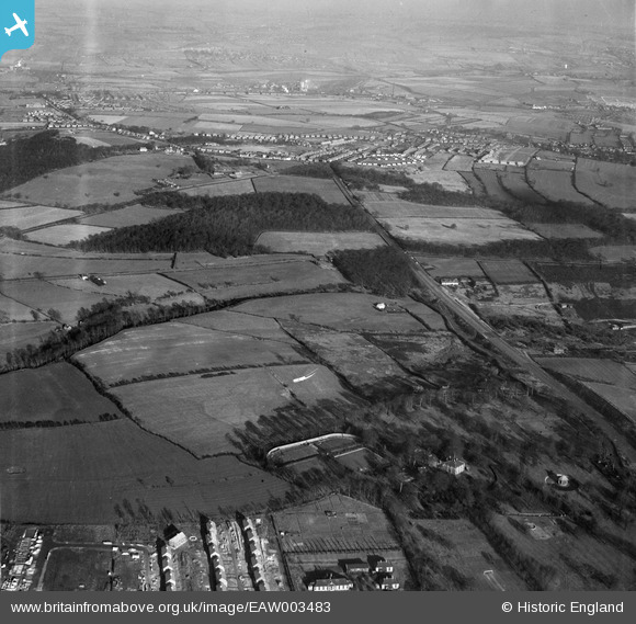
EAW003483 ENGLAND (1947). Warren Vale, Swinton Common and environs, Rawmarsh, from the south-west, 1947
© Copyright OpenStreetMap contributors and licensed by the OpenStreetMap Foundation. 2026. Cartography is licensed as CC BY-SA.
Nearby Images (2)
EAW003483

EAW003484

Details
| Title | [EAW003483] Warren Vale, Swinton Common and environs, Rawmarsh, from the south-west, 1947 |
| Reference | EAW003483 |
| Date | 12-January-1947 |
| Link | |
| Place name | RAWMARSH |
| Parish | |
| District | |
| Country | ENGLAND |
| Easting / Northing | 443869, 397659 |
| Longitude / Latitude | -1.3389929359343, 53.473579555239 |
| National Grid Reference | SK439977 |
