
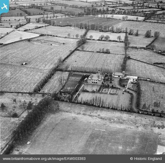
EAW003383 ENGLAND (1946). Auburn Place and the surrounding countryside, Lutterworth, 1946
© Copyright OpenStreetMap contributors and licensed by the OpenStreetMap Foundation. 2025. Cartography is licensed as CC BY-SA.
Nearby Images (11)
EAW003383

EAW003389

EAW003382

EAW003387

EAW003390

EAW003388

EAW003391

EAW003384

EAW003386

EAW003385

EAW003392

Details
| Title | [EAW003383] Auburn Place and the surrounding countryside, Lutterworth, 1946 |
| Reference | EAW003383 |
| Date | 26-November-1946 |
| Link | |
| Place name | LUTTERWORTH |
| Parish | LUTTERWORTH |
| District | |
| Country | ENGLAND |
| Easting / Northing | 453763, 284954 |
| Longitude / Latitude | -1.2086498553722, 52.459512736629 |
| National Grid Reference | SP538850 |
Pins
Be the first to add a comment to this image!