
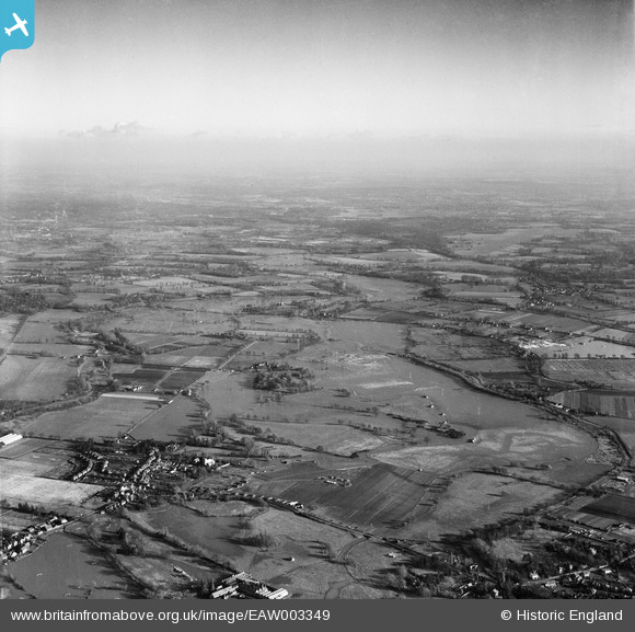
EAW003349 ENGLAND (1946). Flooding of the River Wey around the Oldhall Copse area and environs, Old Woking, from the west, 1946
© Copyright OpenStreetMap contributors and licensed by the OpenStreetMap Foundation. 2026. Cartography is licensed as CC BY-SA.
Details
| Title | [EAW003349] Flooding of the River Wey around the Oldhall Copse area and environs, Old Woking, from the west, 1946 |
| Reference | EAW003349 |
| Date | 13-November-1946 |
| Link | |
| Place name | OLD WOKING |
| Parish | |
| District | |
| Country | ENGLAND |
| Easting / Northing | 502230, 156712 |
| Longitude / Latitude | -0.53345455741983, 51.299835239211 |
| National Grid Reference | TQ022567 |

