
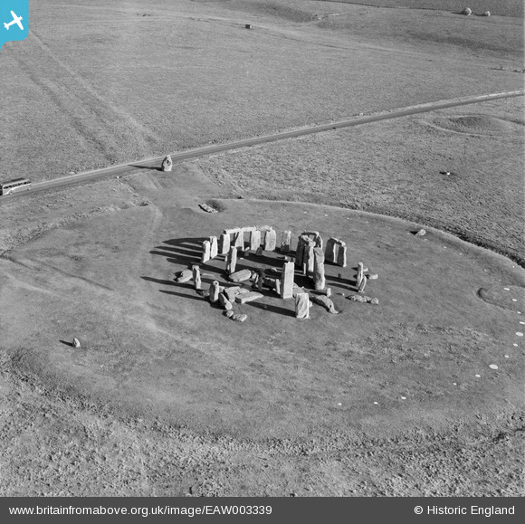
EAW003339 ENGLAND (1946). Stonehenge, The Avenue and the A334, Stonehenge, 1946
© Copyright OpenStreetMap contributors and licensed by the OpenStreetMap Foundation. 2026. Cartography is licensed as CC BY-SA.
Nearby Images (8)
EAW003339

EAW003338

EAW003337

EAW015764

EPW010990

EAW015765

EPW010992

EAW003340

Details
| Title | [EAW003339] Stonehenge, The Avenue and the A334, Stonehenge, 1946 |
| Reference | EAW003339 |
| Date | 13-November-1946 |
| Link | |
| Place name | STONEHENGE |
| Parish | AMESBURY |
| District | |
| Country | ENGLAND |
| Easting / Northing | 412255, 142200 |
| Longitude / Latitude | -1.8246617226127, 51.178382035725 |
| National Grid Reference | SU123422 |
Pins

Alan McFaden |
Wednesday 13th of November 2013 08:57:27 PM |

User Comment Contributions

Stonehenge, 09/03/2015 |

Class31 |
Sunday 15th of March 2015 07:15:51 PM |
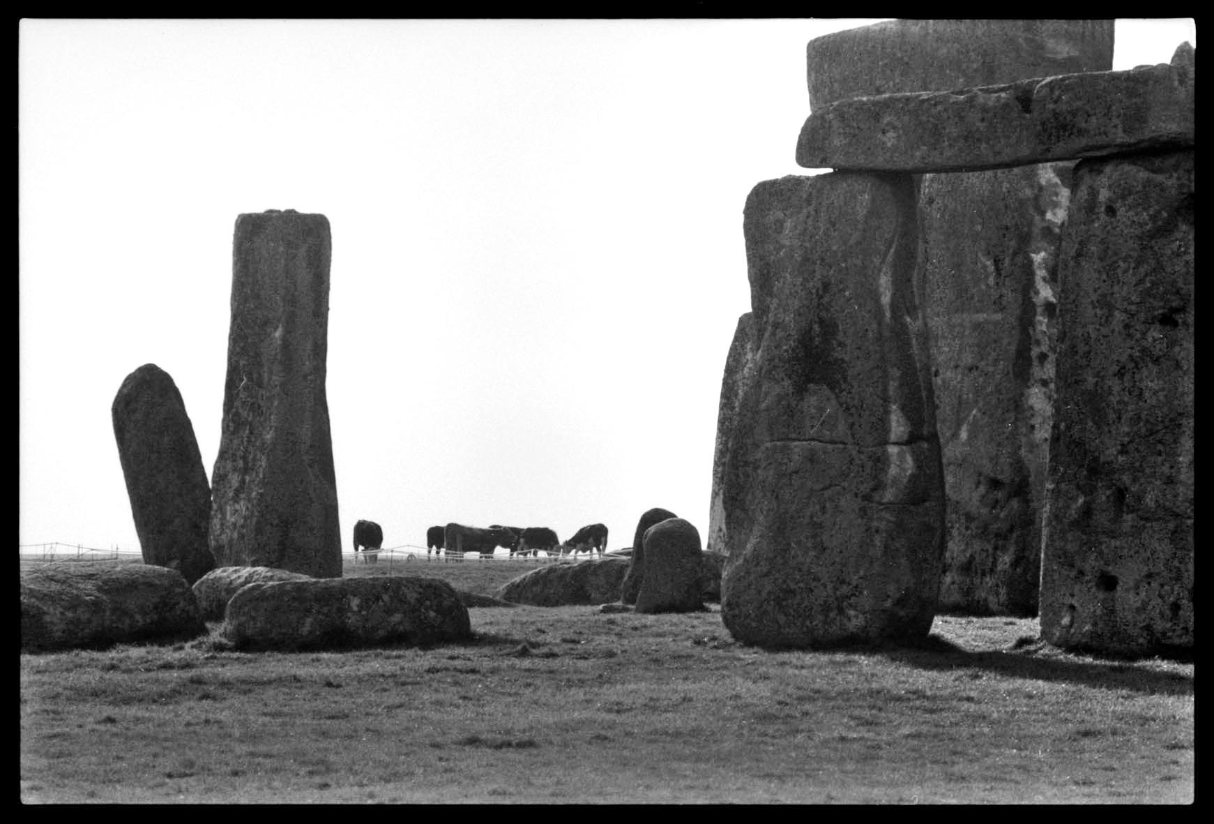
Stonehenge 1980's |
Alan McFaden |
Thursday 20th of November 2014 09:09:42 PM |

Stonehenge 18/12/2013 10.47hrs |
Class31 |
Wednesday 18th of December 2013 07:24:10 PM |
Sorry but for the sake of accuracy the road was the A344 |
Class31 |
Wednesday 18th of December 2013 07:20:55 PM |