
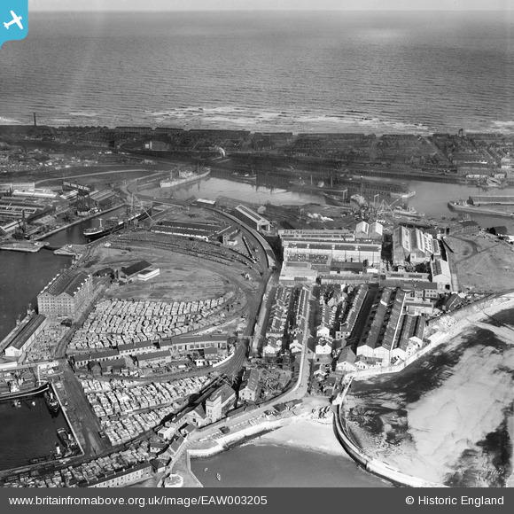
EAW003205 ENGLAND (1946). The Hartlepool Engine Works and the Old Harbour, Hartlepool, from the south, 1946
© Copyright OpenStreetMap contributors and licensed by the OpenStreetMap Foundation. 2026. Cartography is licensed as CC BY-SA.
Nearby Images (15)
EAW003205

EAW003202

EAW003196

EPW054636

EAW003188

EAW003189

EAW003199

EAW003197

EAW003200

EPW054577

EPW054631

EAW003193

EAW003204

EAW003190

EPW054630

Details
| Title | [EAW003205] The Hartlepool Engine Works and the Old Harbour, Hartlepool, from the south, 1946 |
| Reference | EAW003205 |
| Date | 23-October-1946 |
| Link | |
| Place name | HARTLEPOOL |
| Parish | |
| District | |
| Country | ENGLAND |
| Easting / Northing | 451898, 533451 |
| Longitude / Latitude | -1.1947381045244, 54.693310188586 |
| National Grid Reference | NZ519335 |
